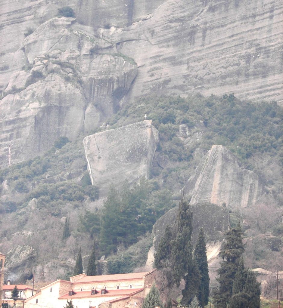
Footpath of Small Agia (Cross)
From the Town hall you take the road that leads to the church dedicated to the Virgin Mary in the old city. North of the church is a sigh which has purple direction circles showing you what to look for at certain areas along the footpath. It is a dirt road with small crossings over rocks, within 15 min. you are at the top of Small Agia, where you can find the cross.
Another way to reach the cross is by taking the paved road north of the church, then west for about 150 m. After the church of St. Nicholas and Vasileios where the paving ends, you can find an intersection and on the right you can find a sign showing you the direction to take. At some point the two roads join together.
Marking: ![]()
Characterization: Moderate difficulty
Time: 15΄
Distance: 300 m.
Altitude difference: 100 m.
Note: The use of GPS is your choice
| Position | Data GPS | Height | |
| Beginning of footpath (Church of Dormition of the Virgin Mary) |
0296498 | 4397990 | 285 |
| Aqueduct | 0296525 | 4398043 | 299 |
| Two Entry Junction | 0296413 | 4398067 | 330 |
| Crossing a rock | 0296388 | 4398065 | 339 |
| Cross | 0296416 | 4398077 | 358 |
| Entrance from the old paved road | 0296338 | 4397974 | 283 |
| Two Entry Junction | 0296413 | 4398067 | 330 |


